
Daily Podcast full article
Flock flaw maps 335,701 cameras
A public researcher map built from Flock-related location data has turned a web-security lapse into a national surveillance-security controversy: the map now lists 335,701 camera locations, Flock has pushed for its removal through a trademark complaint, and the dispute is shifting from “where are the cameras?” to whether suppressing the map addresses the unauthenticated access problem that exposed the footprint in the first place [1].
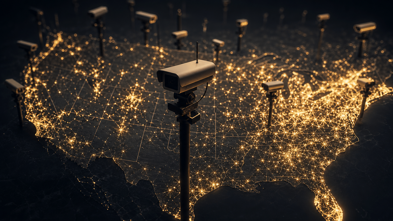
The flaw that made the network visible
The working headline is the story: a Flock flaw maps 335,701 cameras. According to current reporting, security researcher Joshua Michael found that Flock’s website could provide an access token without requiring login credentials, and that token could be used to query ArcGIS, a third-party geographic information system tied to Flock’s device-location data . The result was not a theoretical vulnerability report or a small sample of exposed coordinates, but a public-facing map of a nationwide surveillance footprint that Tom’s Hardware says now lists 335,701 camera locations .
That number matters because Flock Safety is not a hobbyist camera operator. Its automated license plate reader network is used by law-enforcement agencies and other public-safety customers, and its cameras are designed to record vehicle movements at scale. Gadget Review, summarizing the same controversy, reported that Flock publicly cites more than 120,000 cameras across 49 states and roughly 20 billion vehicle scans per month, while the researcher’s map points to a much larger ecosystem of devices . In other words, the vulnerability did not merely reveal a bug; it exposed the geography of a system built to observe geography.
The map’s structure also appears to go beyond simple pins on a road map. Reporting from an Intercept republication says the dataset came from a December 2025 snapshot of Flock’s own records and showed more than 170,000 cameras plus more than 130,000 supporting devices, including acoustic detection units and networking equipment that integrates third-party cameras . Tom’s Hardware, using the map’s current count, frames the total as 335,701 camera locations, while other reports describe the same surveillance web as roughly 300,000 devices, illustrating a key ambiguity: the public debate now turns on what counts as a camera, what counts as supporting infrastructure, and what level of precision should ever have been exposed .
Disclosure, silence and a delayed fix
The timeline is central to the controversy. Michael reportedly found the unauthenticated access path in November 2025, contacted Flock on November 13, and described his testing as non-intrusive and limited to open endpoints that did not require bypassing authentication or modifying data . According to the same reporting, he followed up twice before receiving a response saying the company was triaging the findings, but he says he did not receive a substantive follow-up after that .
The location data was reportedly downloaded in December 2025, and Michael later published a technical write-up in January 2026; Tom’s Hardware says the vulnerability appears to have been fixed after that publication . Gadget Review similarly reports that the exposed access appears to have been fixed after the researcher’s January disclosure, while emphasizing that the public map was built from data retrieved before the fix . That distinction is important: closing the endpoint may stop new unauthenticated queries, but it does not erase copies of a device-location database already pulled from the system.
Flock’s public position has focused on denying that its platform suffered a breach. Tom’s Hardware reports that Flock said it had never been hacked, that Flock information had not been leaked, and that its cloud platform had not experienced a data breach . Michael disputes that framing, arguing that if he pulled a database of device locations, Flock either knew and did not disclose it or did not detect it, a dilemma he characterized as either a transparency failure or a detection failure with national-security implications .
That is the core editorial question. A company can be technically correct that no one broke through a hardened perimeter while still facing a security incident caused by its own exposed, unauthenticated infrastructure. In surveillance technology, the difference is not academic. A camera network’s location data is sensitive because it reveals where observation is possible, where blind spots exist, and which sensitive sites sit inside dense capture zones.
Why the map became a national-security issue
The public version of the story is easy to caricature as a privacy fight: a company that watches public roads does not want the public watching its watchers. But the map’s implications are broader. Tom’s Hardware reports that Michael’s analysis suggested the network could potentially be used to observe soldiers, federal personnel and defense-industry workers traveling to and from sensitive sites, including Eglin Air Force Base, CIA headquarters, FBI headquarters, Joint Base Andrews and the Pentagon . The same report says people living within 20 miles of those sites had a 57.22% to 93.94% chance of passing a Flock camera and being recorded, according to Michael’s route-exposure analysis .
Gadget Review also highlighted specific mapped entries and clusters, including an entry labeled “FBI Pilot Camera” at the coordinates of the J. Edgar Hoover Building, an entry inside the Silverdale Detention Center in Chattanooga, and about 860 devices near the Rosemont Public Safety Department close to Chicago O’Hare International Airport . These examples do not prove every point in the dataset is correct, but The Intercept’s reporting, republished by IwPost, says reporters visited six random Arizona locations from the map and found a Flock camera at each indicated coordinate .
That spot check is not a full audit. It is, however, enough to explain why the map is more than an activist visualization. Precise infrastructure maps can help communities understand surveillance coverage, but they can also help hostile actors infer patrol patterns, sensitive routes and protected-site exposure. The irony is that this risk flows from the very weakness the map is documenting: the company’s own system reportedly allowed the footprint to be reconstructed without credentials.
The takedown push and the wrong fix
After the map went public, Flock did not only face criticism over the vulnerability. It sought to have the map removed. Tom’s Hardware reports that Doppel, a cybersecurity company focused on social-engineering defense, contacted Michael on Flock’s behalf with a trademark infringement complaint, alleging unauthorized use of the “FLOCK SAFETY” mark and possible customer confusion . The researcher’s site reportedly included a disclaimer stating that it was not affiliated with or endorsed by Flock .
This is where the story becomes a disclosure-policy test. If a public-interest researcher publishes a map derived from exposed infrastructure data, a company may have legitimate concerns about misuse, safety and branding. But if the response centers on trademark law rather than a transparent postmortem, independent verification and remediation details, the company risks looking more interested in hiding the symptom than explaining the failure.
Gadget Review notes that the trademark complaint arrived one day after a Senate hearing scrutinizing Flock’s nationwide AI surveillance network . That timing adds political weight to the dispute, even if it does not by itself prove motive. Lawmakers were already asking whether wide-area automated license plate reader systems enable warrantless vehicle tracking, how data is shared across agencies, and whether existing oversight is adequate . The map supplies a vivid answer to a narrower but crucial question: how big is the footprint?
What accountability should look like
The immediate issue is not whether every Flock camera should be hidden or every coordinate should be public forever. The issue is whether a private surveillance vendor whose systems support public policing can let unauthenticated access expose a national device map and then treat the resulting publication as the main problem.
A credible response would start with a precise incident timeline, including when the exposed token path became available, what data classes were accessible, whether access logs show other queries, and when customers and affected public agencies were notified. It would also explain why a device-location layer could be queried without credentials, what controls now prevent recurrence, and whether independent auditors have verified the fix.
The researcher map has already done what maps do: it collapsed abstraction into terrain. “Flock network” sounds like software; 335,701 locations sounds like infrastructure. Once that infrastructure is visible, the public can see the tension at the heart of the business model. Flock sells visibility over roads, vehicles and movements. The flaw made Flock’s own visibility visible.
Suppressing the map may reduce immediate exposure, but it does not answer the larger question. If the locations of hundreds of thousands of surveillance devices can be pulled through an unauthenticated flaw, the security failure is not the public learning the footprint. The security failure is that the footprint was exposed in the first place .
Sources from the last 72 hours
- [1]Flock seeks to have security researchers' map of Flock cameras taken down — unauthenticated flaw exposed 335,701 camera locations nationwideSep 27, 2026, 12:00 AM UTC
- [2]Flock Pressured to Remove Map of Its 300,000-Device Surveillance NetworkSep 25, 2026, 12:00 AM UTC
- [3]Flock Wants the Most Detailed Map of Its Surveillance Cameras Taken OfflineSep 25, 2026, 12:00 AM UTC
AI-generated article based on recent web research, then preserved as a dated editorial snapshot.
Comments
Be the first to comment.